Lisbeths and my Easter Monday trip was to one of the easternmost islands of Denmark: Moen and a small island next to it: Nyord

The road from Moen to Nyord

Our first stop was the very small island Nyord.
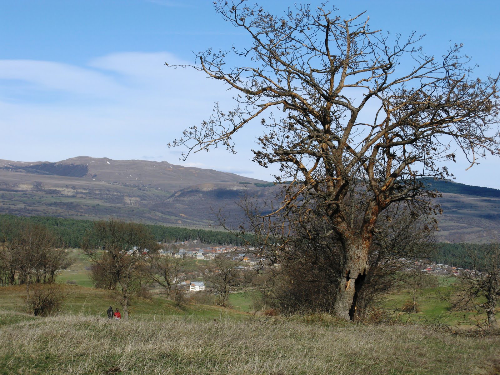
Nyord has two parts: One hill created by the ice during the ice-age, and one very low created by the sea, which has deposit material here.
First we visited the flat meadows

The low meadows on Nyord are very important for many migratory birds, and they are protected nature
On the picture Danish name: Vibe, UK: Northern Lapwing (Vanellus vanellus)

Danish name: Kanadagås, UK: Canada Goose (Branta Canadensis), an invasive species in Scandinavia

Nyord town

View from Nyord to Moen

hether you are standing on the beach looking up at the cliff, or you are up there looking down, you will feel the thrill of being on a roller coaster. There is nothing like it elsewhere in Denmark.
According to an old legend, the King of the Cliff, the Jew Opsal, lives on Møns Klint. It is said that there are two caves in Møns Klint; in one of them lives the King of the Cliff himself, in the other live his dog and white horse.
The King of the Cliff was to protect Møn from misfortune and attack.

Not only is the dramatically steep cliff an experience in itself, but also the woods and the open spaces are full of exciting wildlife. The area is well known for its many beautiful orchids.

View from the top of Møns Klint
Møns Klint is one of the most curious landscapes in Denmark. It is a chalk cliff, almost 8 kilometres in length, its highest peak measuring just on 100 metres.

The last stop was grasslands of Høvblege on the island of Møn
There is a fantastic view from Høvblege
over the Baltic Sea
Høvblege house many orchids, butterflies and day-flying moths

Høvblege is one of the few places in Denmark where European Serin lives.
Danish name: Gulirisk, UK: European Serin (Serinus serinus)


 The road from Moen to Nyord
 Our first stop was the very small island Nyord.
 The low meadows on Nyord are very important for many migratory birds, and they are protected nature
 Danish name: Kanadagås, UK: Canada Goose (Branta Canadensis), an invasive species in Scandinavia
 Nyord town
 View from Nyord to Moen
 hether you are standing on the beach looking up at the cliff, or you are up there looking down, you will feel the thrill of being on a roller coaster. There is nothing like it elsewhere in Denmark.
 Not only is the dramatically steep cliff an experience in itself, but also the woods and the open spaces are full of exciting wildlife. The area is well known for its many beautiful orchids.
 View from the top of Møns Klint
  The last stop was grasslands of Høvblege on the island of Møn
 Høvblege is one of the few places in Denmark where European Serin lives.